Hi po sa lahat ng GIS Mapper dyan! May Group po ba ng mga GIS users dito?
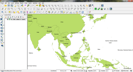
Share ko lang ang ginagawa ko for work
View attachment 295846
Share ko lang ang ginagawa ko for work
View attachment 295846
Most of our features and services are available only to members, so we encourage you to login or register a new account. Registration is free, fast and simple. You only need to provide a valid email. Being a member you'll gain access to all member forums and features, post a message to ask question or provide answer, and share or find resources related to mobile phones, tablets, computers, game consoles, and multimedia.
All that and more, so what are you waiting for, click the register button and join us now! Ito ang website na ginawa ng pinoy para sa pinoy!

 ... gusto ko sana matuto ng ArcGis.. share naman kayo ng installer

