Symbianize Forum

Most of our features and services are available only to members, so we encourage you to login or register a new account. Registration is free, fast and simple. You only need to provide a valid email. Being a member you'll gain access to all member forums and features, post a message to ask question or provide answer, and share or find resources related to mobile phones, tablets, computers, game consoles, and multimedia.

All that and more, so what are you waiting for, click the register button and join us now! Ito ang website na ginawa ng pinoy para sa pinoy!

GIS (Graphic Information System) Mapper - Requests

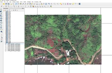
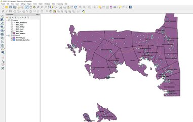
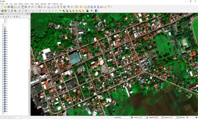
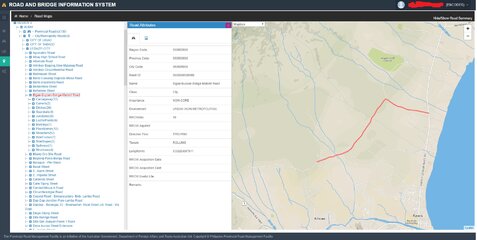
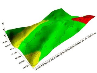
I'm using QGIS 2.14. Ok sya sa mapping. Yun lang medyo mahirap kapag bago ka pa lang dahil sobra dami buttons nyan. UPLB has been assisting us here at work. Sobrang useful kasi pwede mo ma-assess yung damage ng crops kapag bumagyo or may calamities. Pwede din compute ang area ng isang lugar using this software.
 
Last edited:
:what: geographic pala to , akala ko nung una about graphic arts :lol: . ma try nga. interesting :think:
 
Last edited:
I want to be involved too. I have backcountry navigator pro for android device. I want to develop it for Military use. if you can help me. I would appreciate it so much. :)
 
QGIS User here working in Telco Industry.. :):praise::praise:
Laking tulong ng QGIS
 
Hi Sir, parang mali po definition mo sa GIS..its Geographic Information System po..i'm a GIS enthusiast at ArcGIS 10.1 gamit ko ngayon for work..f may question po kayo o need nyo po ng tulong, pwede nyo po ako i.pm..thanks


boss pwede paturo sa arcGIS kasi gagawa ako project para sa campus map, kung saan pwede ka mag search at ituturo kung saan (with directions )

ps: studyante po
 
Guys, bago palang po ako sa pag aaral ng GIS, may gumagamit ba dito or nkakaalam panu mag setup ng TILESERVER?
 
wow ang galing marami pala dito gumagamit ng qgis share tayo ng nalalaman.
 

Attachments

  • QGIS.JPG
    QGIS.JPG
    227.7 KB · Views: 56
  • map.JPG
    map.JPG
    160.6 KB · Views: 48
im Arc 10.3 user. with xtools 17.. ginagawa nmen for project of forestry and agricure and also other Office related projects. hehehehehe up for this mga magagaling jn po paturo nmn ehhehe
 

Attachments

  • QGIS .jpg
    QGIS .jpg
    788.8 KB · Views: 69
Last edited:
Nice to know may mga gumagamit din ng GIS dito. I'm working in the govenment, mainly planning and designing infrastructures wherein GIS is very useful especially mapping of existing, ongoing and future projects, also for feasibility studies for floods, etc.
 
Hello mga Master need ko help nyo baka meron kayong alam na mga controls (TRN) yung sa mga Land Title (TCT/OTC) yung mga ganun sir gusto ko kasi na meron coordinate sa Cad Software

Anu po ba zoning ng CARAGA Region? PS98 Zone 4 ba or Zone 5? Medyo bagohan lang sa mga coordinate system

Salamat mga Master
 
guys tulongan tayo, magbigayan tayo ng idea pati shapefiles na kailangan natin sa trabaho... arcgis 10.2.2 gamit ko
 
hi guys. 10.5 po gamit ko arc gis... bago ang lahat kaylangan nating malaman kung saang location kayu gumagawa. sakin kasi here in isabela, Ilagan City.
 
me too user ng QGIS then ini-import ko sa ROAD AND BRIDGE INFORMATION SYSTEM (DILG) i work in the Government :)

View attachment 349626
 

Attachments

  • road data.jpg
    road data.jpg
    347.4 KB · Views: 31
Qgis and ArcMap gmit ko. mas mdali lng gmitin c qgis. may project sa Rapid Community Based Monitoring System (RCBMS) yan gmit ko. so far so good namn. at user friendly cya.
 
pano pala gumawa ng geodatase? examples.... ???
and pano maging 3d ung map...?
natry ko ang 3d kaso napakaraming steps... eto sample ko View attachment 349863
 

Attachments

  • Pasa Dam 3d Sample.jpg
    Pasa Dam 3d Sample.jpg
    32.3 KB · Views: 12
ka-Isabelino. pashare ng 10.5 ArcGIS. crack na ba gamit mo? ESsetnod kasi gamit ko antivirus, di maopen yung patch. ano solution? ty
 
Back
Top Bottom