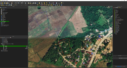
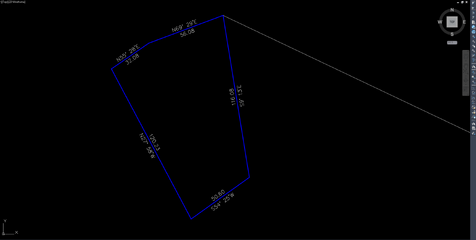
nung una sir zone 4 yung ginagmit ko kaso ngayon crack nalang civil3d ko ehehe di na nag iimport ng map...Sir depende sa location ng project.
PRS92 / Philippines zone 1 - EPSG:3121
PRS92 / Philippines zone 2 - EPSG:3122
PRS92 / Philippines zone 3 - EPSG:3123
PRS92 / Philippines zone 4 - EPSG:3124
PRS92 / Philippines zone 5 - EPSG:3125
pero kung may KML file ka at tama po set ng coordinate system ng civil 3d, MAPIMPORT lang gamitin mo para di na magconvert.
BTW di din ako GE
Symbianize Forum
Most of our features and services are available only to members, so we encourage you to login or register a new account. Registration is free, fast and simple. You only need to provide a valid email. Being a member you'll gain access to all member forums and features, post a message to ask question or provide answer, and share or find resources related to mobile phones, tablets, computers, game consoles, and multimedia.
All that and more, so what are you waiting for, click the register button and join us now! Ito ang website na ginawa ng pinoy para sa pinoy!
Geodetic Engineering Official thread. PASOK!!!!!
- Thread starter faker2313
- Start date
- Replies 23
- Views 2,556


